


About Client
Landcheck provides an easy and affordable way to access natural hazard risk information for properties in Auckland.
The data is sourced from official providers and summarized into a clear, easy-to-read PDF report.
This helps users make informed decisions when investing in Auckland real estate.
Project Background – AWS Custom Application Development using ESRI ArcGIS
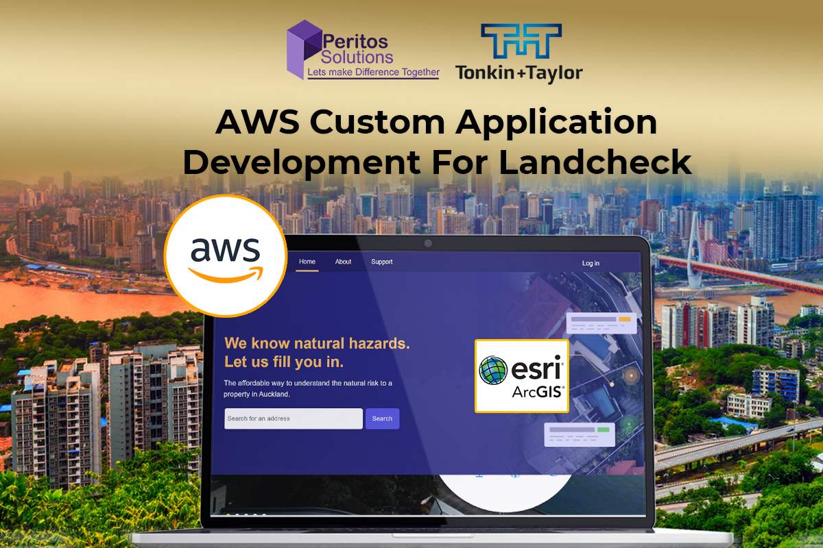
Peritos collaborated with Landcheck to develop a custom AWS-based application integrated with ESRI ArcGIS to generate hazard reports for specific properties.
The application generates land-based reports based on property addresses, covering hazards such as flooding, wind, liquefaction, coastal erosion, and active faults.
Reports are created using the latest authorized data and expert insights, enabling users to make informed decisions.
Previously manual, this process was transformed into a scalable SaaS-based solution.
Scope & Requirement
In the first phase of development, the implementation included:
- Custom application to generate automated reports for property addresses in the Auckland region
- Integration with ArcGIS server to fetch hazard data and apply additional risk calculation logic
- User-friendly presentation of hazard risks with expert insights from Landcheck SMEs
- Property aerial images with hazard layers showing coverage by risk levels
- Reports including problem description, hazard percentage, and possible solutions
- Option to download reports as PDF files
Implementation
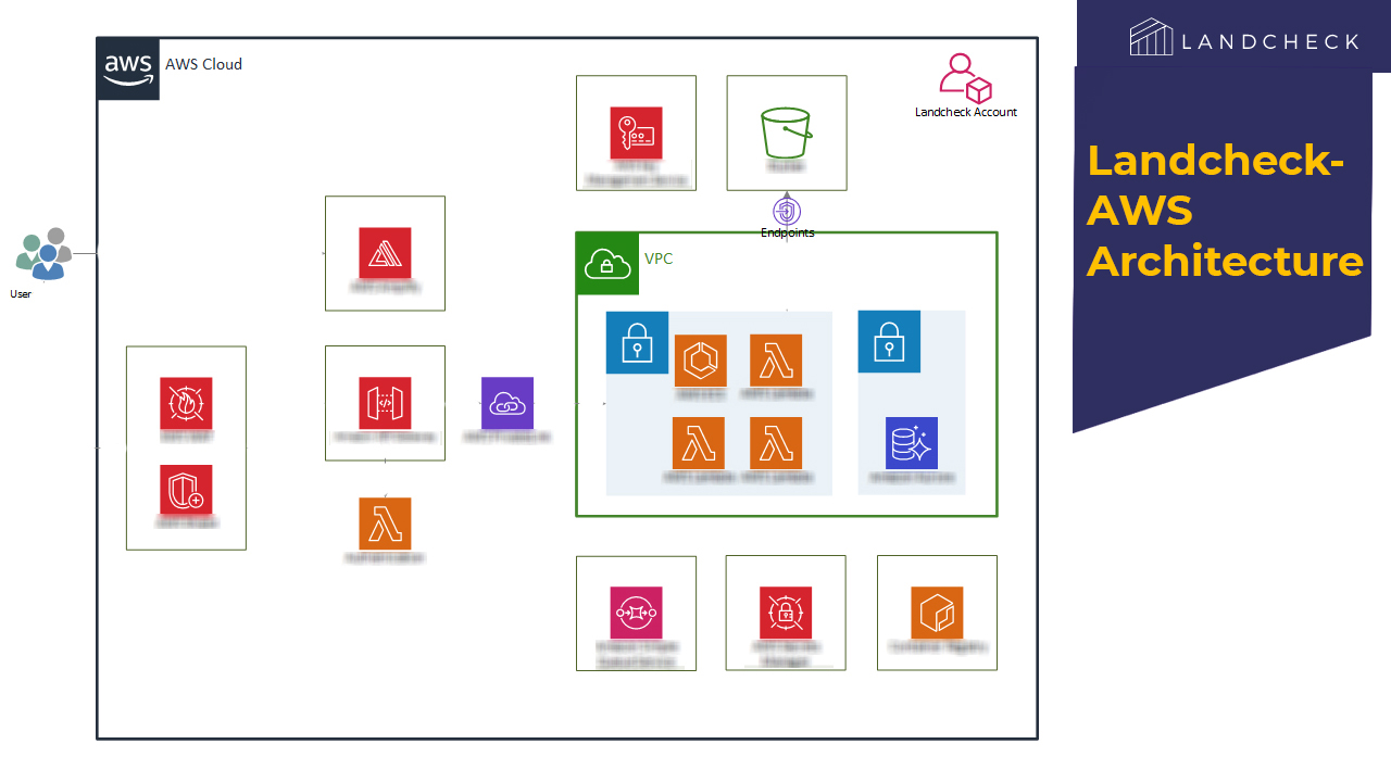
Technology and Architecture
Read more on the technology and architecture used for AWS Custom Application Development using ESRI ArcGIS.
Technology
- Backend: .NET Core, C#
- Frontend: ReactJS
- Database: PostgreSQL
- Cloud: AWS
Integrations
- Google APIs
- LINZ database
- ESRI ArcGIS
- Stripe
- Auth0
- SendGrid
Security
- AWS WAF used as firewall
- All API endpoints are token-based
Responsive Design
- Designed with mobile-first approach and responsive UI
Scalability
Application runs on serverless architecture, enabling automatic scaling based on usage.
Cost Optimization
Alerts and notifications monitor AWS budget usage. Serverless setup avoids extra cost during low usage,
with continuous cost optimization.
Backup and Recovery
- Automated backups with multiple copies stored
Code Management, Deployment
- CI/CD implemented for automatic build and deployment
Features of Application
- Search and view property outline via aerial view
- User account creation and payment for report access
- Hazard ratings with expert recommendations
- Fully powered by AWS backend and frontend services
Challenges
- Complex multi-source data processing for hazard reports
- Optimized calculations using parallel processing and ArcGIS APIs
- Extensive testing across ~600 properties
- Handling data inconsistencies and edge cases
- ArcGIS data integration from multiple sources
- Complex visualization using layered GIS data
Support
As part of the project implementation, we provide 2 months of extended support, including 20 hours per month for minor bug fixes and development.
An SLA is also in place to handle system outages and high-priority issues.


")